
About Hyannis
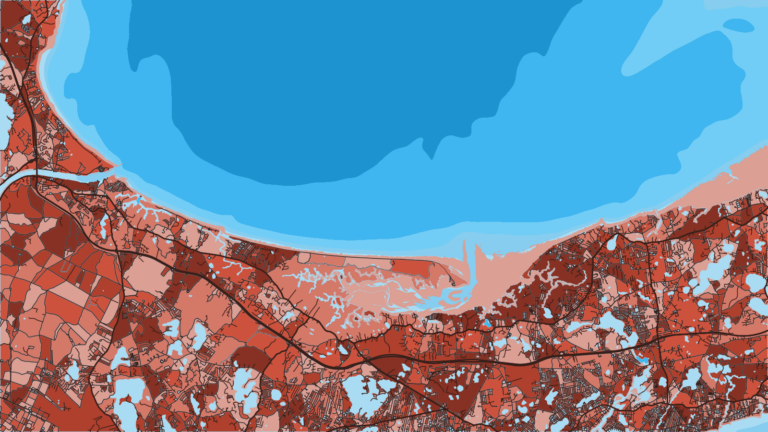
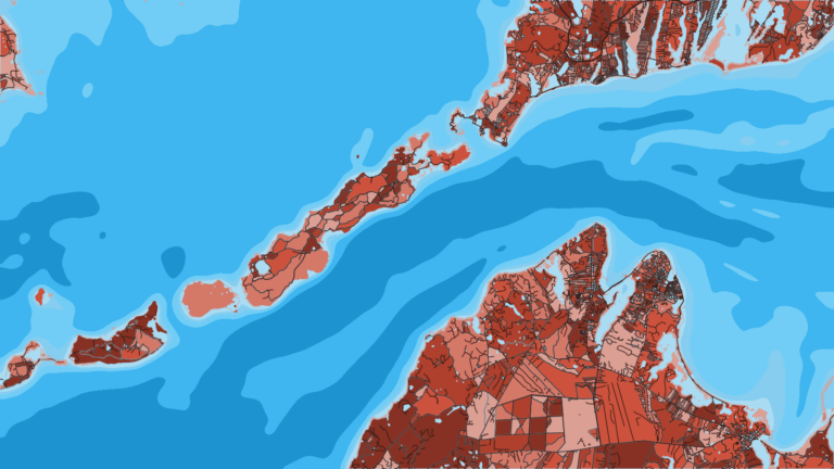
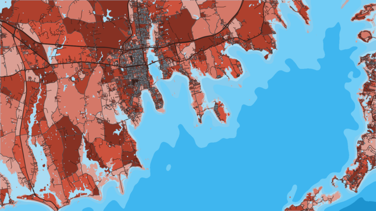
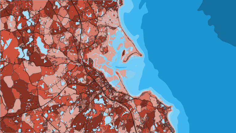
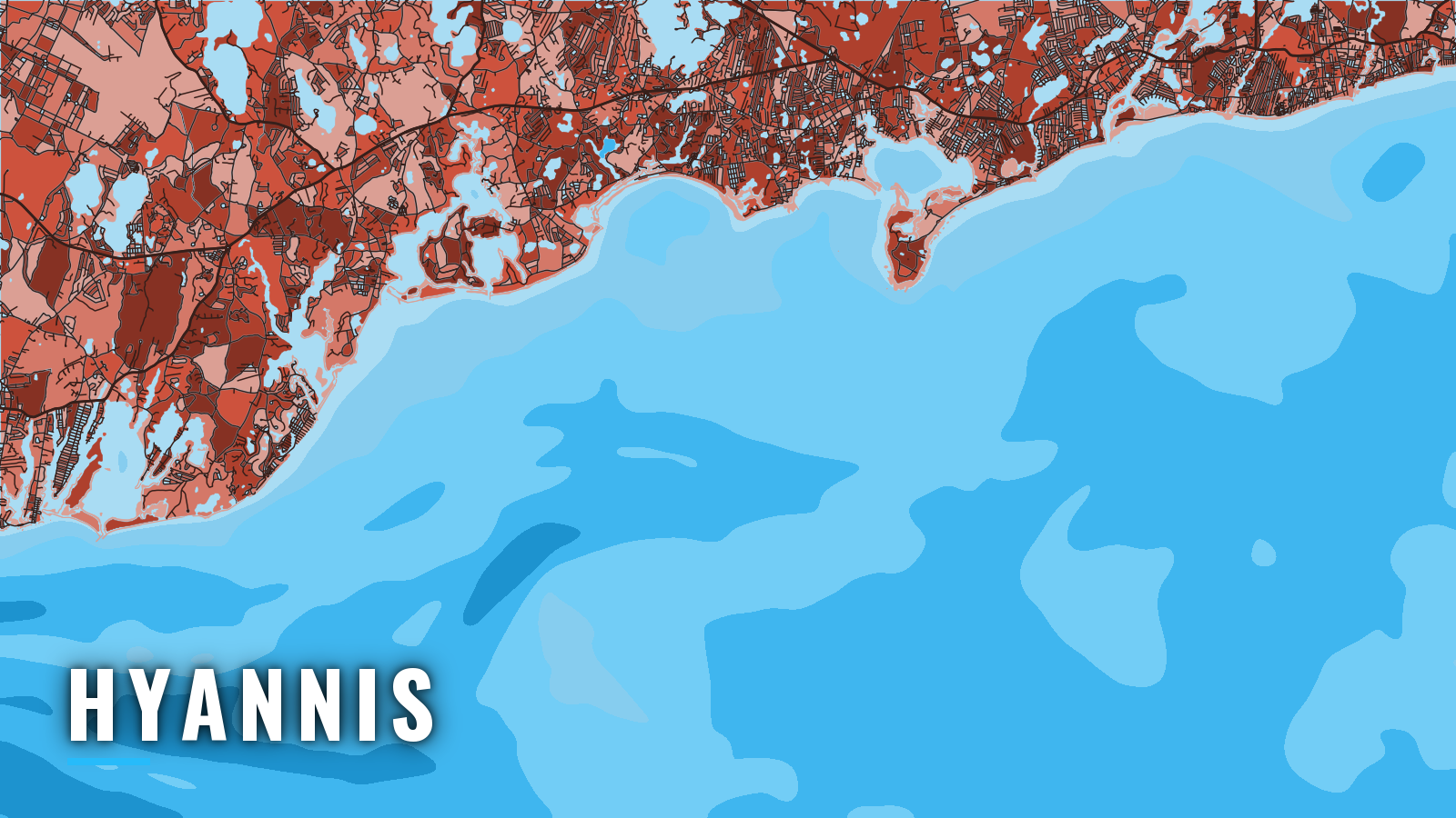
Hyannis is a breakwater-protected harbor on the north shore of Nantucket Sound, with Lewis Bay and the town and ferry wharves behind it. Private boats fish Nantucket Sound, the Monomoy rips and Nantucket Shoals from here, and Bass River in Yarmouth is a second launch point on the same sound. Hyannis is one of the Sound ports on the south side of Cape Cod, Massachusetts, and it opens onto Nantucket Sound and Southern New England offshore water.
The season runs spring through autumn, and the target list is striped bass, bluefish, black sea bass, scup, fluke, bonito, false albacore and bluefin tuna. This guide covers the ramps, the way out and what each season puts on the grounds. "Offshore" here means the true outside water south of the islands and on Nantucket Shoals. Every angler 16 and older needs a Massachusetts recreational saltwater fishing permit, and MassDMF saltwater fishing regulations set sizes, bags and seasons, so check them before fishing.
Access and navigation from Hyannis
Hyannis has two town ramps on Lewis Bay and a handful of marinas. Bass River gives you a second way onto the Sound.
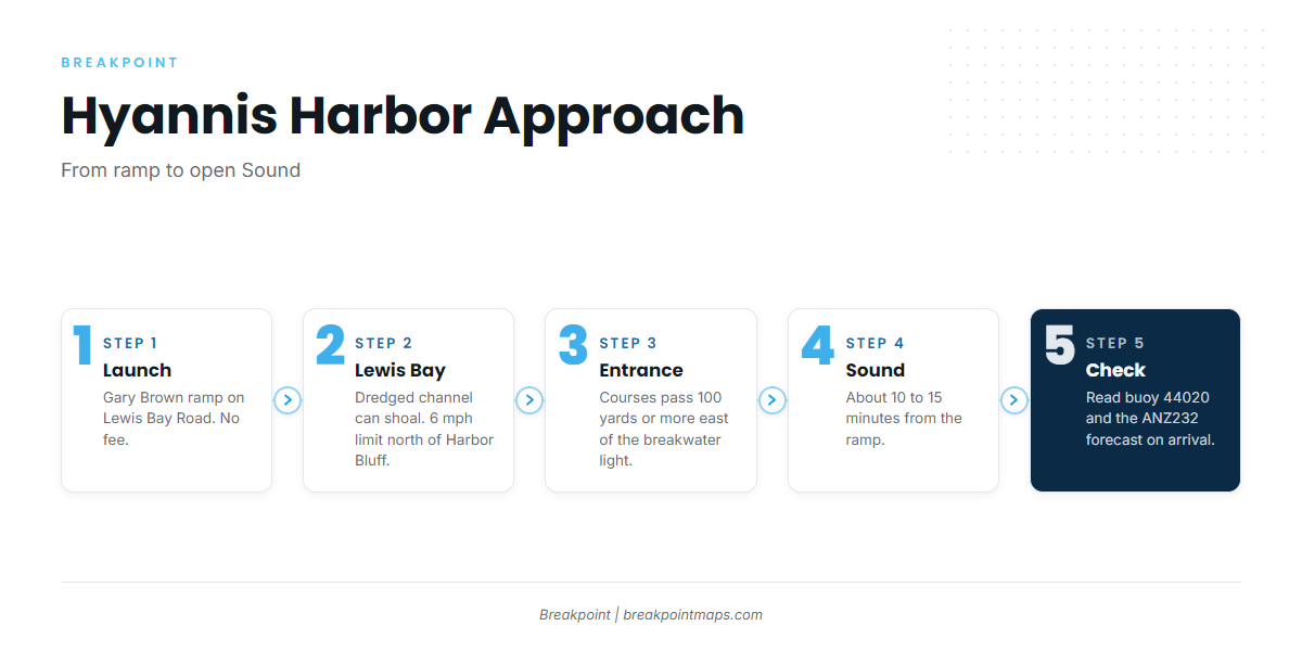
- Gary Brown Boat Ramp – Town of Barnstable ramp on Lewis Bay Road. No fee, on-site parking for 12 to 13 vehicle and trailer rigs, and overflow parking at the Steamship Authority off-site lot. It is about a 10 to 15 minute run to the Sound, with a no-wake zone out to the point at Kalmus Beach.
- Bay Shore Road ramp – Town of Barnstable ramp on Lewis Bay.
- Hyannis Marina – Fuel and transient slips.
- Bismore Park Marina – Town marina with transient slips.
- Gateway Marina – Town marina with transient slips.
- Bass River Beach ramp – Yarmouth ramp for the Bass River approach.
- Bass River Marina – West Dennis marina with fuel, on the Bass River approach.
A breakwater with a light on its end protects the harbor entrance, and the charted courses differ by direction, per NOAA Coast Pilot 2 Chapter 4. From the east, steer about 317° to a point 0.6 mile SW of Great Rock Daybeacon 4A, then about 012°. From the west, steer about 054° from midway between Horseshoe Shoal Buoy 7 and Wreck Shoal Bell Buoy 8, then 012°. Both courses pass 100 yards or more east of the breakwater light.
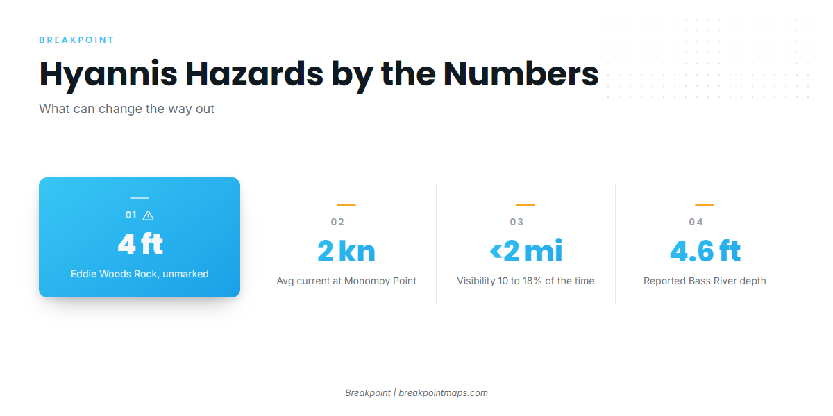
Rocks and obstructions sit on the flat running NW from Point Gammon into the approach. West of the breakwater the water is shoal, with rocks well offshore. Unmarked Eddie Woods Rock is covered 4 ft and lies 0.6 mile SW of the light.
The dredged channel into Lewis Bay is well marked but can shoal, especially near Lewis Bay Approach Channel Buoy 9, so the chart may lag the bottom. Water tends to be deepest where it looks darkest. Expect heavy summer traffic, since the Nantucket and Martha’s Vineyard ferries berth at the Steamship Authority wharves. A 6 mph limit is enforced north of Harbor Bluff.
Out in the Sound, numerous fish traps sit along the Cape Cod shore. Advection fog is most frequent April through August. Visibility drops under 2 miles 10 to 18 percent of the time, and May, June and July tend to be the worst months.
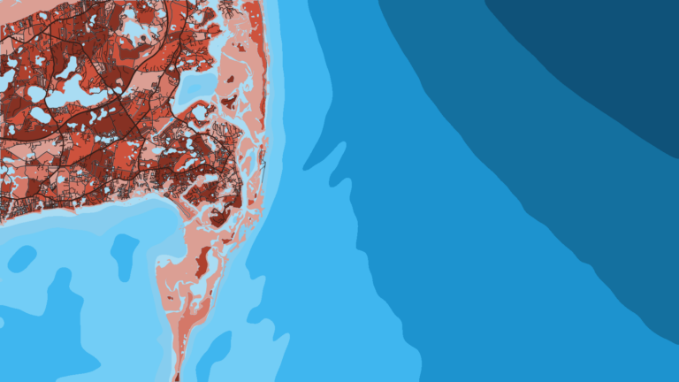
The eastern entrance to the Sound runs through Pollock Rip Channel and Butler Hole, and Great Round Shoal Channel. Monomoy and Nantucket Shoals lie east and SE of it. The shoals there shift considerably, and tidal currents can set strong and baffling over them, averaging about 2 knots at strength 0.2 mile west of Monomoy Point.
Bass River is the alternative approach to the same water. The entrance runs between two jetties, with a light on the west jetty. A seasonal lighted buoy sits 1.1 miles south of the jetty light, and private seasonal buoys mark the channel over the bar. The entrance and bar can shoal, and a 4.6 ft controlling depth has been reported. Dogfish Bar, covered 1 to 6 ft, lies off the entrance. A 5 mph limit applies on the river.
On arrival, look at the water, then check the Nantucket Sound buoy 44020 reading and the NWS Nantucket Sound forecast ANZ232. If the water looks bigger than you want, switch to the other approach.
Fishing conditions out of Hyannis
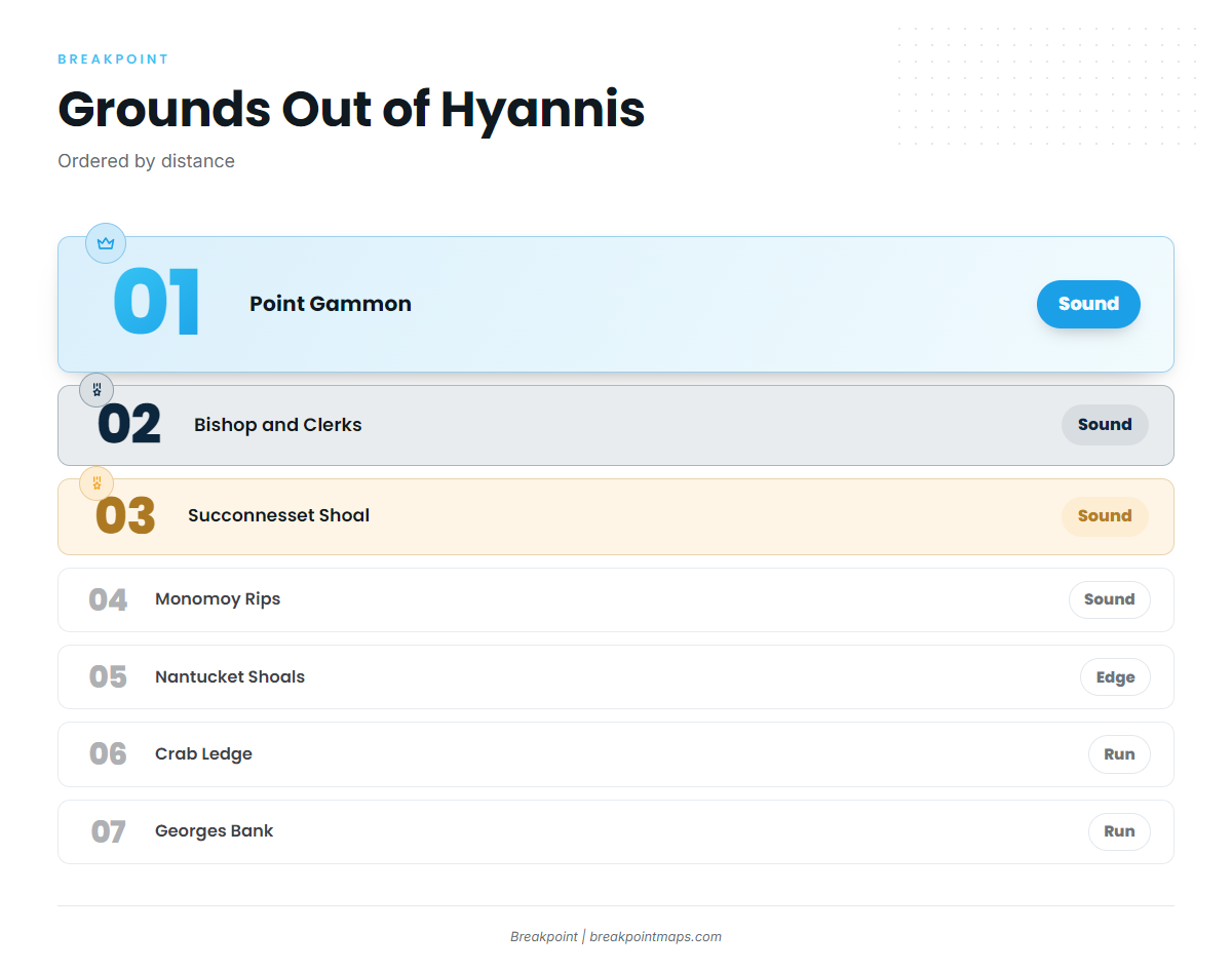
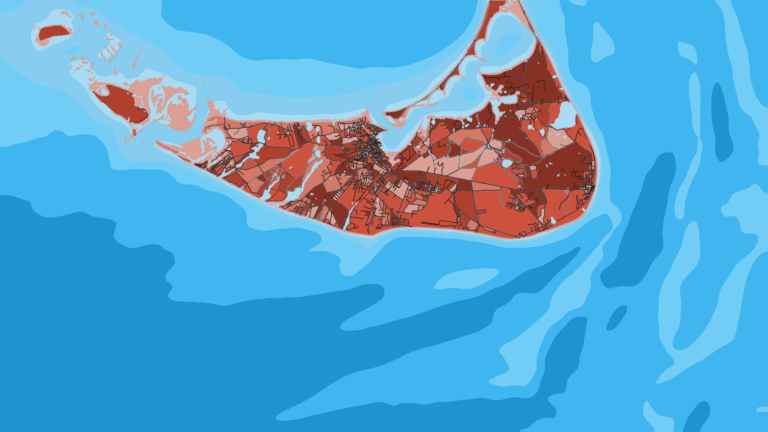
The grounds run from the Sound to the outside water. Point Gammon, Bishop and Clerks and Succonnesset Shoal sit in the Sound, close to the harbor. Monomoy Rips lie toward the eastern end of the Sound, and Nantucket Shoals mark the offshore edge. Crab Ledge and Georges Bank are runs for boats built for offshore distance.
Winter
Winter is the quiet part of the year. MassDMF lists striped bass and bluefish as open year round, so check the MassDMF page above for the current rules before you go.
Spring
Spring brings striped bass, bluefish, squid, tautog, scup and black sea bass.
- Striped bass arrive in the Sound and work the shoals and rips.
- Bluefish follow the bait in.
- Squid show up through the season.
- Tautog hold on the rocky structure.
- The bottom fishery for black sea bass and scup builds through the season.
May also begins the worst fog stretch of the year.
Summer
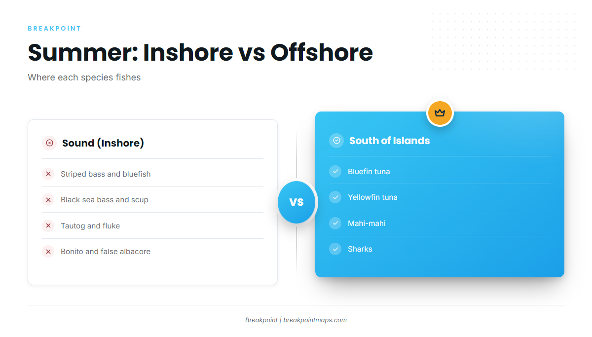
Summer has the widest mix of the year. In the Sound, the list includes:
- Striped bass
- Bluefish
- Black sea bass
- Scup
- Tautog
- Fluke
- Bonito
- False albacore
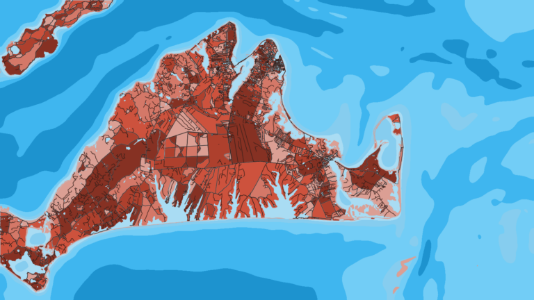
South of the islands, offshore boats find sharks, mahi-mahi, yellowfin tuna and bluefin tuna. For yellowfin tuna, the Northeast regional pattern shows how they tend to set up along warm edges. Offshore-capable boats may also look for bigeye tuna in deeper Northeast water, and the regional bigeye guide covers where. Bigeye is not a Hyannis fish. Tunas fall under NOAA Highly Migratory Species rules and need a federal HMS permit.
Our OBS SST, Chlorophyll and Chart Contours layers help you decide where to look south of the islands. Chart layers are not for navigation.
Autumn
Autumn brings striped bass, bluefin tuna, false albacore, bluefish, black sea bass and tautog. The bluefin regional pattern shows how the tuna move through the area.