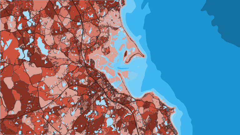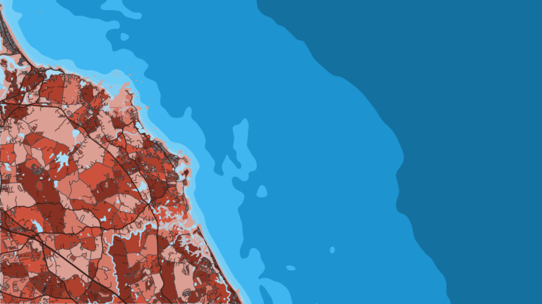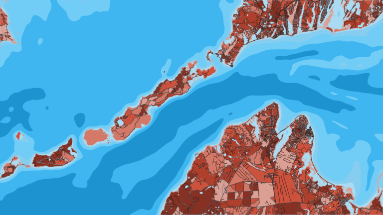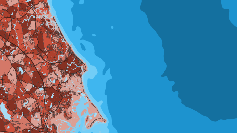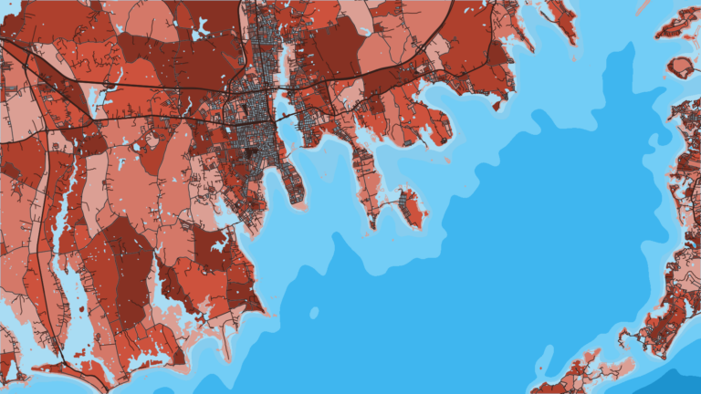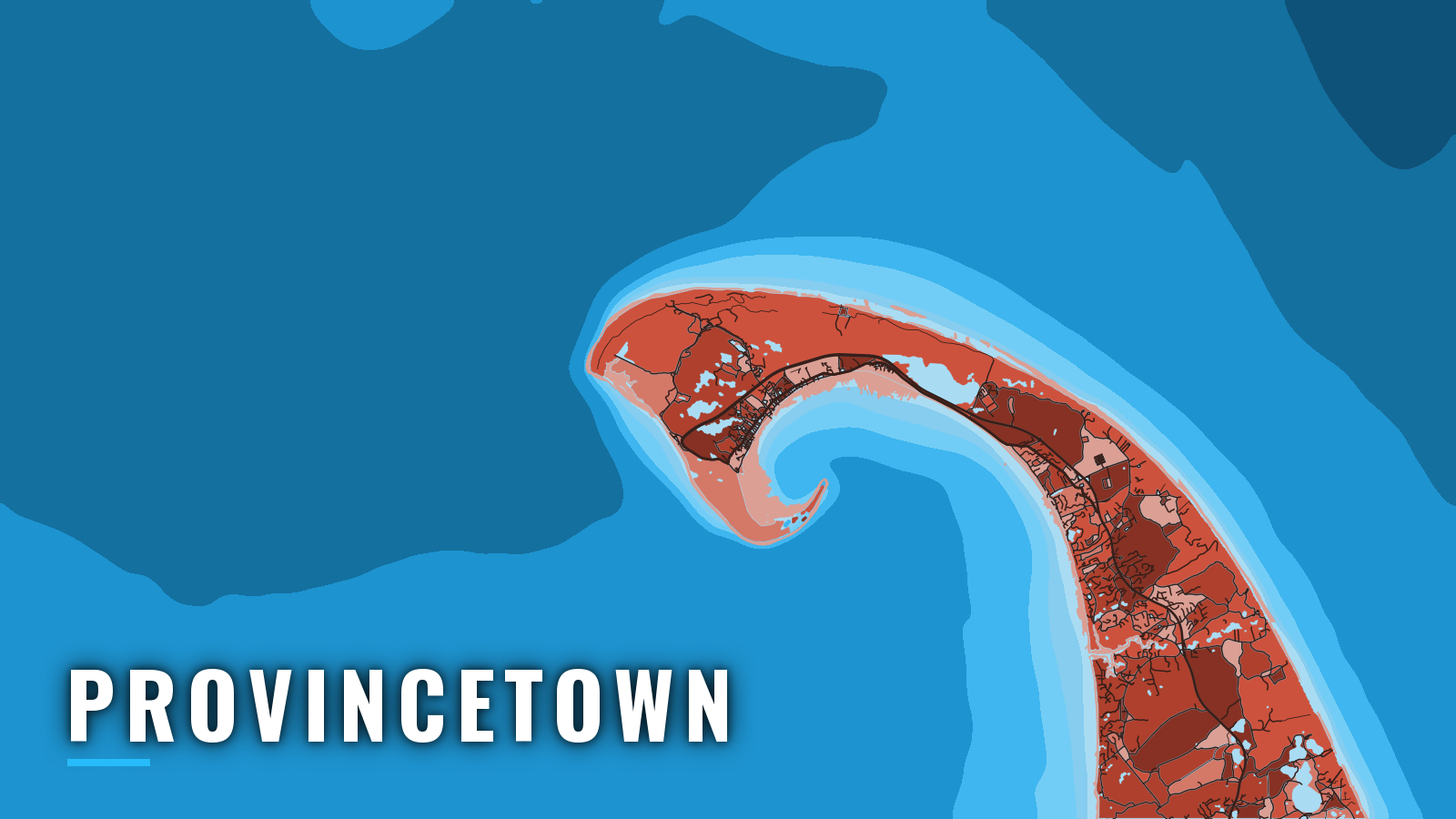

Provincetown offshore fishing at the tip of the Cape
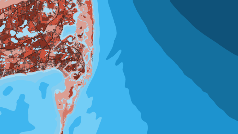
Provincetown sits at the tip of the Cape Cod hook, where the harbor opens to Cape Cod Bay and the Atlantic lies just around Race Point. The harbor is formed by the turn at the northern end of the hook and is about 2 miles across, according to the NOAA U.S. Coast Pilot 2. Cape Cod Bay lies inside, the Atlantic shore runs around Race Point, and Stellwagen Bank lies to the north.
Provincetown is the outermost of the Massachusetts ports on the Cape. It sits at the southern edge of the Gulf of Maine, with the rest of the Northeast offshore waters opening up beyond Stellwagen. Spring brings haddock and striped bass. Summer and autumn bring striped bass, bluefin tuna and fluke. Winter has little fishing and a lot of rules.
Striped bass work the near-shore grounds; the striped bass fishing guide covers the species in depth. Bluefin tuna draw boats to Stellwagen Bank, and the bluefin tuna guide picks up from there.
What follows covers how to get off the dock, how the approaches behave, and where and when the fish tend to be.
Access and navigation
Launching and berthing
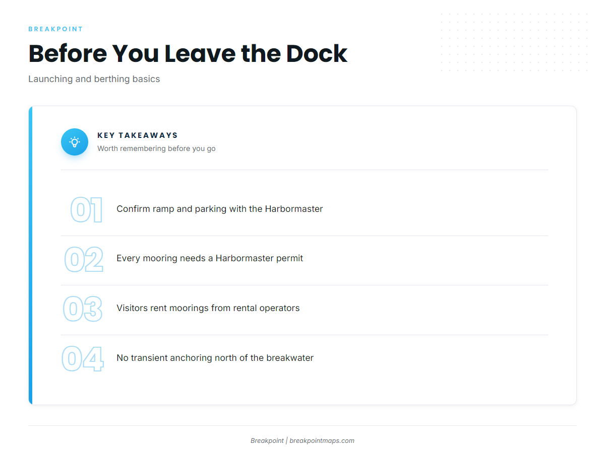
Trailer boats launch from a ramp in town. Confirm the ramp, parking and permit details with the Harbormaster’s Office before you tow out.
Every mooring in Provincetown waters requires a permit from the Harbormaster’s Office. Visiting boats rent a mooring from a rental operator instead. The Town’s page on Provincetown Harbor mooring rules spells out the system. No transient anchoring or mooring is allowed north of the breakwater.
Two operators rent moorings to visitors, and both are also on Dockwa:
- Provincetown Marina: rental moorings and transient slips, VHF 9.
- Flyer’s: rental moorings, VHF 11.
MacMillan Pier is the town’s central pier and a landmark for the marina area.
The Coast Pilot describes the anchorage inside the breakwater as fair to poor, with a mud bottom and debris. These Provincetown cruising guide notes say boats that anchor tend to find room outside the mooring field and south of the breakwater. Moorings can feel exposed in winds from south through northeast. In a strong easterly, boats tend to tuck in behind the breakwater.
Entrance and approaches
The Coast Pilot describes the approach and entrance as free of dangers, marked by three lights and Pilgrim Monument. A 2,500-foot stone breakwater lies about 300 yards southeast of the end of the town pier, with a light at each end. Carry NOAA chart 13249 and Coast Pilot 2.
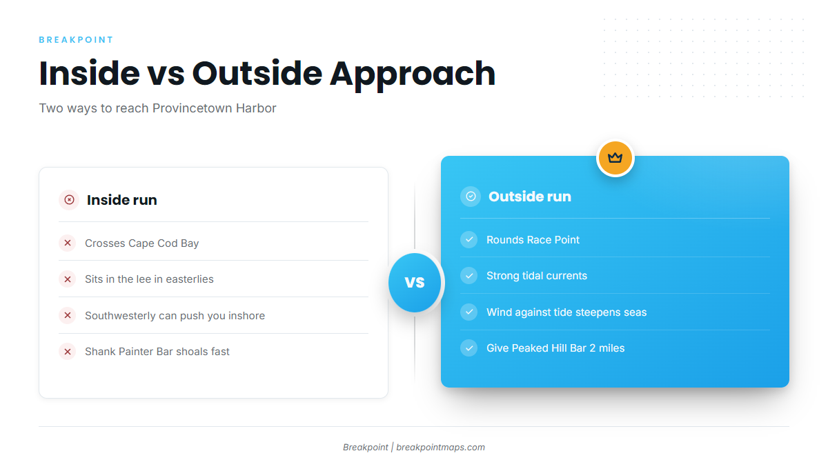
The inside route runs across Cape Cod Bay, past Long Point and Wood End. Depth contours are abrupt here, and the curving shoreline can be more disorienting from the water than it looks on the chart. A southwesterly can set a boat closer inshore than intended while aiming for the Wood End bell. Shank Painter Bar makes out from shore, and depths can change quickly.
The outside route goes around Race Point. Between Wood End and Race Point, the Coast Pilot says shoals rise abruptly from deep water and extend up to about 0.6 mile from shore. Tidal currents between Race Point and Highland Light are very strong.
When wind blows against a strong current, seas tend to shorten and steepen, which is why the water off Race Point can stand up when the forecast wind alone looks modest.
Each route serves as the alternative to the other. The inside run across the bay sits in the lee of the Cape in easterly weather. The outside run tends to suit days without a strong wind opposing the current at Race Point. In a southwesterly, the inside approach to Wood End can push you inshore.
If you are coming from the backside or the north, give Peaked Hill Bar room. Least depth is 11 feet, about 3.5 miles northeast of Race Point Light. The bar lies about 0.6 mile offshore and runs about 4 miles. A berth of at least 2 miles is advised, because a bar that shoals fast from deep water gives little warning on the sounder.
Cape Cod Bay holds federally designated critical habitat for the North Atlantic right whale, with peak presence from December through May. Approaching within 500 yards of a right whale is illegal.
On arrival, look at the water and check the NWS marine forecast for the Cape Cod Bay and outer waters zones. If conditions look bigger than you want, switch approaches.
Fishing conditions
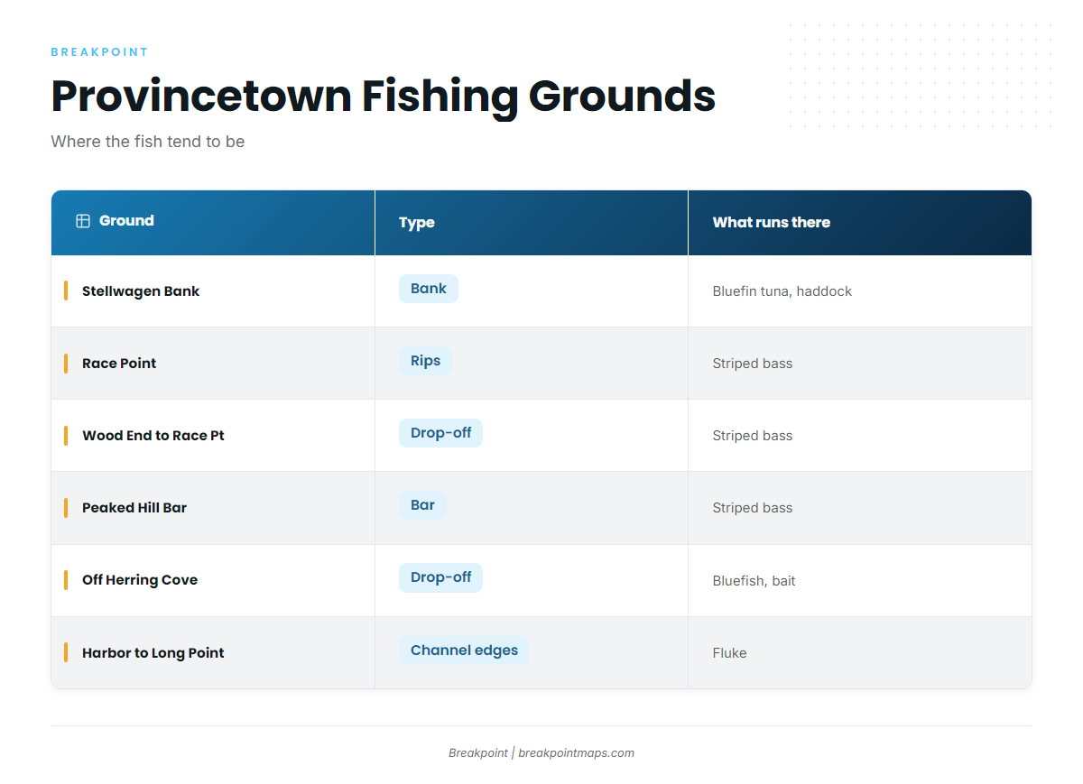
The grounds below range from the open water of Stellwagen Bank to the channel edges inside the harbor.
Stellwagen Bank is the main offshore ground north of the port. Bluefin tuna run here in summer and autumn, and the guide to bluefin tuna in the Northeast covers the regional picture. Haddock run on the southern part of the bank in spring.
Race Point is turbulent water fed by strong current. The wind-against-tide effect that can stand up the rip also tends to hold bait there. Anglers working it should read the guide to striped bass in the Northeast first.
The Wood End to Race Point drop-off is where the bottom slopes steeply from the abrupt shoals. Fish may hold on the edge.
Peaked Hill Bar is a traditional striped bass ground. Transiting boats should keep the 2-mile berth.
Off Herring Cove is a drop-off with strong current where sand eels, mackerel and herring tend to gather. Bluefish are often trolled here.
The harbor and the Long Point channel edges hold fluke, both inside the harbor and along the channel edges out to Long Point.
Sand eels and mackerel tend to set up where bass and tuna show. A depth sounder that marks bait on the bank edges helps you find fish.
| Ground | Type | What runs there |
|---|---|---|
| Stellwagen Bank | Bank | bluefin tuna (summer, autumn); haddock (spring, southern bank) |
| Race Point | Rips | striped bass |
| Wood End to Race Point | Drop-off | striped bass |
| Peaked Hill Bar | Bar | striped bass |
| Off Herring Cove | Drop-off | bluefish; bait (sand eels, mackerel) |
| Harbor to Long Point | Channel edges | fluke |
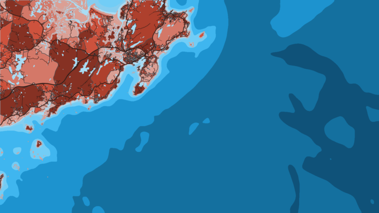
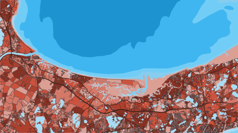
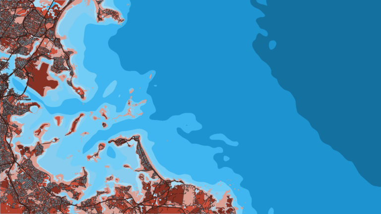
Breakpoint carries OBS SST, Chlorophyll and Chart Contours layers. They help you read the Stellwagen edges and the Wood End to Race Point drop-off before you leave the dock. Chart layers are not for navigation.
MassDMF sets state-water rules for striped bass, fluke, haddock and cod, so check the Massachusetts recreational saltwater regulations before you fish. NOAA HMS manages bluefin tuna and requires its own permit, available through the NOAA HMS permit portal.
Winter
Right whale peak presence in Cape Cod Bay runs December through May, and the 500-yard rule applies to every boat. Groundfish rules and cod closures are set by MassDMF, so check the agency for current closures. We don’t describe a winter bite.
Spring
Haddock tend to show on the southern part of Stellwagen Bank and move east into deeper water as summer approaches. Striped bass begin to arrive on the near-shore grounds.
Summer
Striped bass work Race Point, Peaked Hill Bar and the drop-off. Bluefin tuna may show on Stellwagen. Fluke hold in the harbor and along the Long Point channel edges.
Tuna trips off the Cape center on bluefin. For warm-water tuna farther south, see the yellowfin tuna guide and yellowfin in the Northeast.
Autumn
Striped bass, bluefin tuna and fluke carry through. Bass may push along the rips and the bar as bait moves. Autumn weather makes the arrival check worth doing every time.
More Massachusetts ports: Barnstable, Chatham.