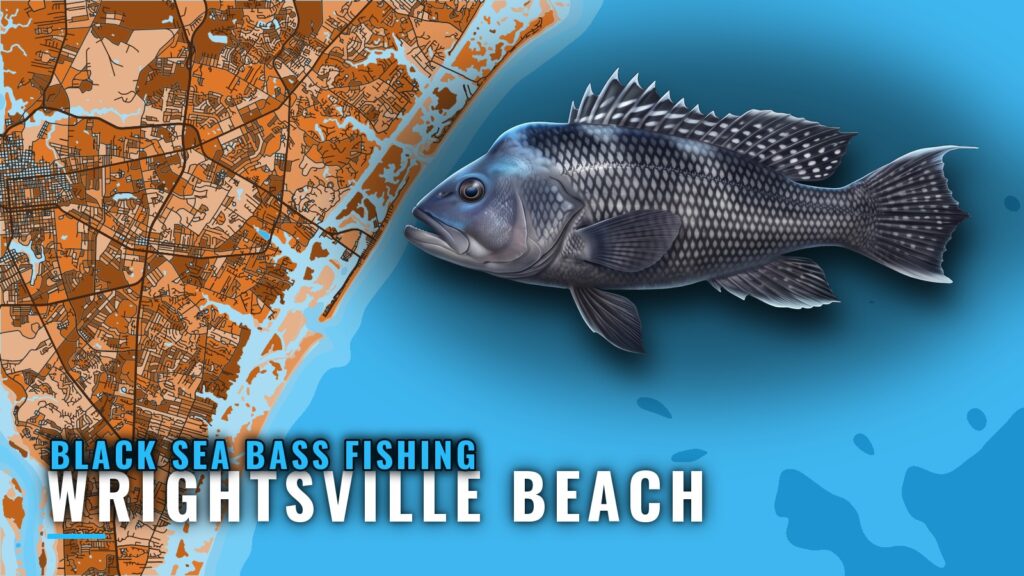
Where Wrightsville Beach boats run for black sea bass
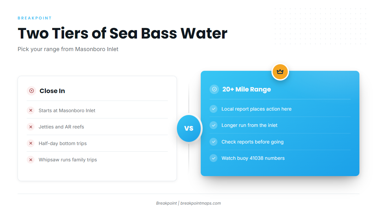
Black sea bass fishing out of Wrightsville Beach splits into close-in bottom grounds off Masonboro Inlet and a 20+ mile range. The Wrightsville Beach port page has the inlet and port details. Boats reach the Atlantic through jettied Masonboro Inlet, per the NOAA Coast Pilot inlet description, and the run divides into two tiers from there. For the wider coast, see the black sea bass fishing in the Atlantic Southeast and the Atlantic Southeast offshore fishing guide.
| Tier | Where | How it is fished |
|---|---|---|
| Close in | Jetties and AR reefs off Masonboro Inlet | Half-day bottom trips |
| Far out | 20+ mile range | Bottom trips |
Close in from Masonboro Inlet
Whipsaw runs half-day bottom trips for black sea bass close in. The jetties and AR reefs that anchor those trips are listed in the grounds section below.
The 20+ mile range
A Fisherman’s Post local report places sea bass action in the 20+ mile range. It is one report, so treat it as a lead on where fish have been found rather than a promise they are there.
When black sea bass are around
No season dates are given here. Check local reports and buoy readings before choosing a range. The species guide covers season pattern, biology and rigging basics.
For conditions, read NDBC 41038, Wrightsville Beach Nearshore (ILM2), at 34.141 N 77.715 W in 18 m of water. Pair its readings with the NWS Wilmington marine zone forecast:
- Wind: speed and direction.
- Wave height: in feet or meters.
- Wave period: seconds between crests.
Grounds and structure that hold black sea bass
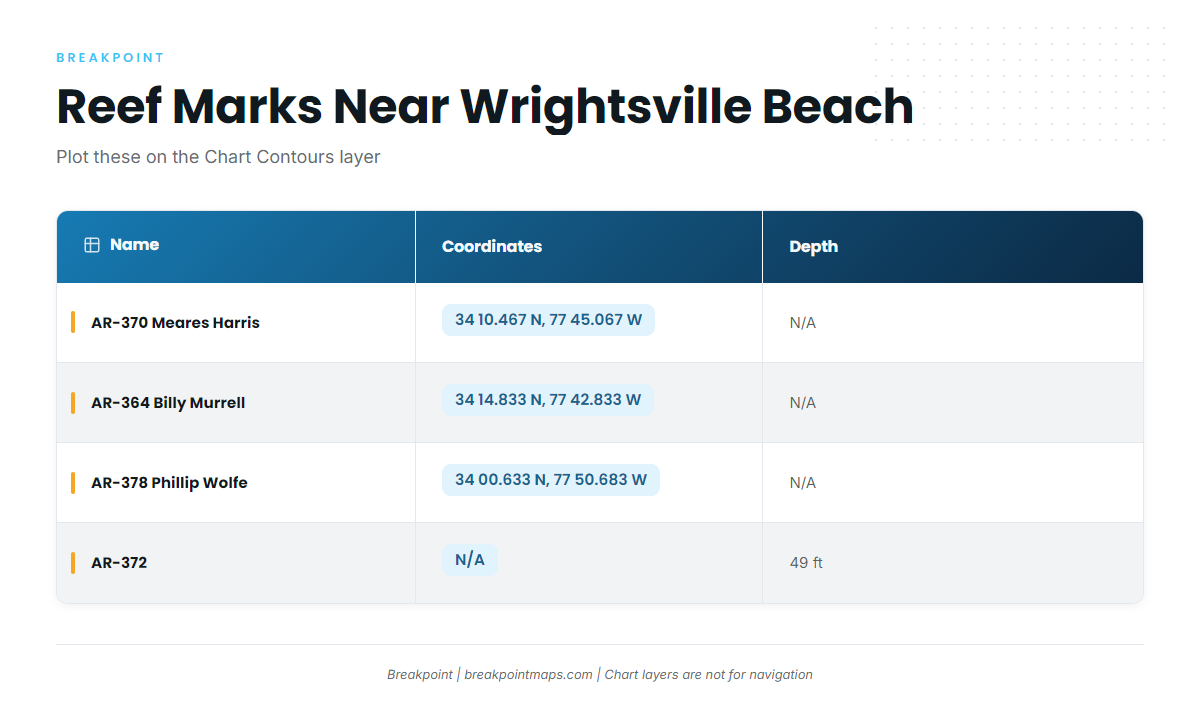
The AR numbers are the state’s artificial reef labels, laid out in the North Carolina artificial reef guide. The regional reef fish guides cover areas beyond this port.
| Name | Coordinates | Depth |
|---|---|---|
| AR-370 Meares Harris Reef | 34 10.467 N, 77 45.067 W | |
| AR-364 Billy Murrell Reef | 34 14.833 N, 77 42.833 W | |
| AR-378 Phillip Wolfe Reef | 34 00.633 N, 77 50.683 W | |
| AR-372 | 49 ft |
You can plot the listed coordinates on the Chart Contours layer, but chart layers are not for navigation.
Masonboro Inlet jetties
The north and south jetties at Masonboro Inlet are the closest structure.
AR-370 Meares Harris Reef
AR-370 sits at 34 10.467 N, 77 45.067 W.
AR-364 Billy Murrell Reef
AR-364 sits at 34 14.833 N, 77 42.833 W.
AR-372
AR-372 lies in 49 ft of water.
AR-378 Phillip Wolfe Reef
AR-378 sits at 34 00.633 N, 77 50.683 W.
Schoolhouse
Schoolhouse is a named local ground.
Dredge Wreck Reef
Dredge Wreck Reef is a named local ground.
10-Mile Boxcars
10-Mile Boxcars is a named local ground.
How black sea bass are fished here
The method is bottom fishing. Whipsaw runs it as half-day family trips that stay close to the inlet, and other boats run it as bottom trips. The species guide covers rigging basics.
- Half-day family trips: Whipsaw, close in.
- Bottom trips: other boats, using the same bottom-fishing method.
Who fishes for black sea bass out of Wrightsville Beach
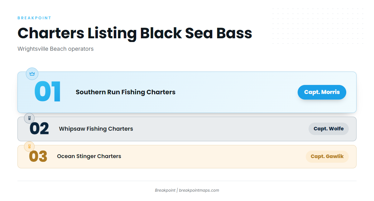
Three local charters list black sea bass.
Southern Run Fishing Charters
Captain Ben Morris runs Southern Run Fishing Charters. Details are on the Southern Run Fishing Charters site.
Whipsaw Fishing Charters
Captain Robbie Wolfe runs Whipsaw Fishing Charters, which offers half-day bottom trips close in, including family trips. Details are on the Whipsaw Fishing Charters site.
Ocean Stinger Charters
Captain Jesse Gawlik runs Ocean Stinger Charters.
FAQ about black sea bass fishing out of Wrightsville Beach
How far do boats run for black sea bass from Wrightsville Beach?
There are two tiers. Close-in half-day bottom grounds sit off Masonboro Inlet, and a local report places sea bass action in the 20+ mile range. Pick the range from current reports and buoy readings, since distance is a choice and carries no guarantee of fish.
Which reefs are close to Masonboro Inlet?
The Masonboro Inlet north and south jetties are closest. AR-370 Meares Harris Reef, AR-364 Billy Murrell Reef, AR-372 and AR-378 Phillip Wolfe Reef are the named artificial reefs. Schoolhouse, Dredge Wreck Reef and 10-Mile Boxcars are named local grounds.
What are the reef coordinates?
AR-370 Meares Harris Reef is at 34 10.467 N, 77 45.067 W. AR-364 Billy Murrell Reef is at 34 14.833 N, 77 42.833 W. AR-378 Phillip Wolfe Reef is at 34 00.633 N, 77 50.683 W. Chart layers are not for navigation.
Which buoy should I check before running?
NDBC 41038, Wrightsville Beach Nearshore (ILM2), sits at 34.141 N 77.715 W in 18 m of water. Read wind, wave height and wave period there alongside the official marine forecast.
When are black sea bass around, and where are the size and bag limits?
No dates are given here. Check local reports and the species guide for season pattern. Size, bag and season limits are on the North Carolina regulations page, so check it before you fish.