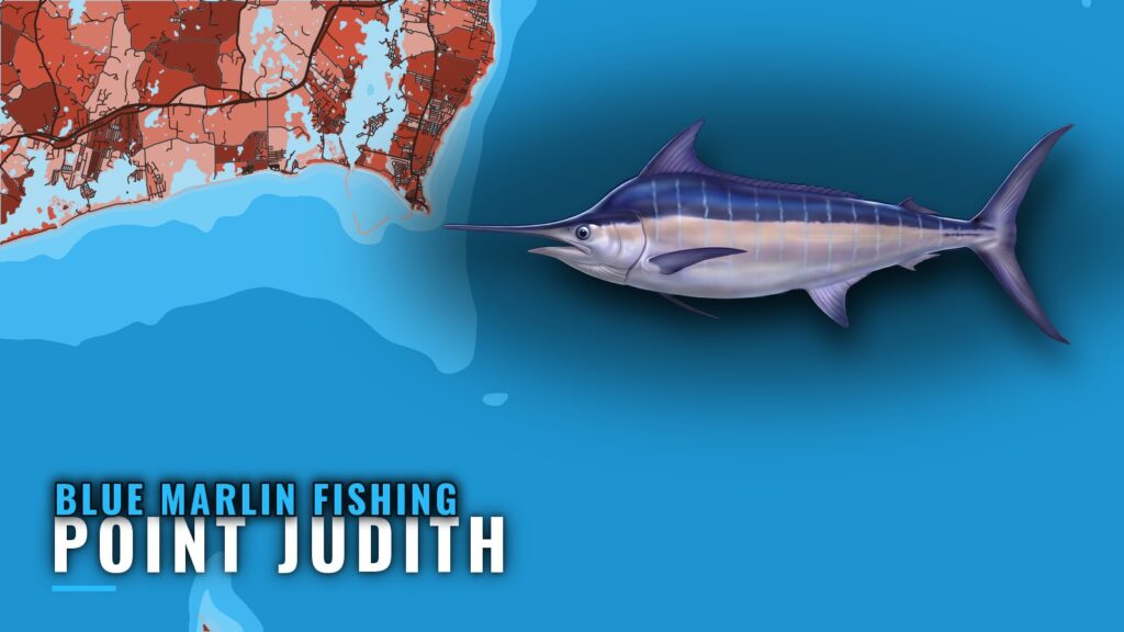
Blue marlin fishing out of Point Judith means a summer run of about 95 miles to the canyon grounds, fished by offshore trolling. The blue marlin species guide covers biology and tackle, so this page stays on the port. Below: the season, the run, the named structure near Point Judith, how boats fish it, and where to check the rules.
When blue marlin are off Point Judith
Blue marlin are a summer fish here, per Sport Fishing’s canyon summary. Summer is when the canyon run makes sense for a marlin trip; the rest of the planning is distance and weather, covered in the next section. For the regional picture of the canyon run, see the Northeast blue marlin guide (see also the Atlantic Northeast region guide).
- Season: summer
- Grounds: canyon grounds offshore
- Method: offshore trolling
How far boats run from Point Judith
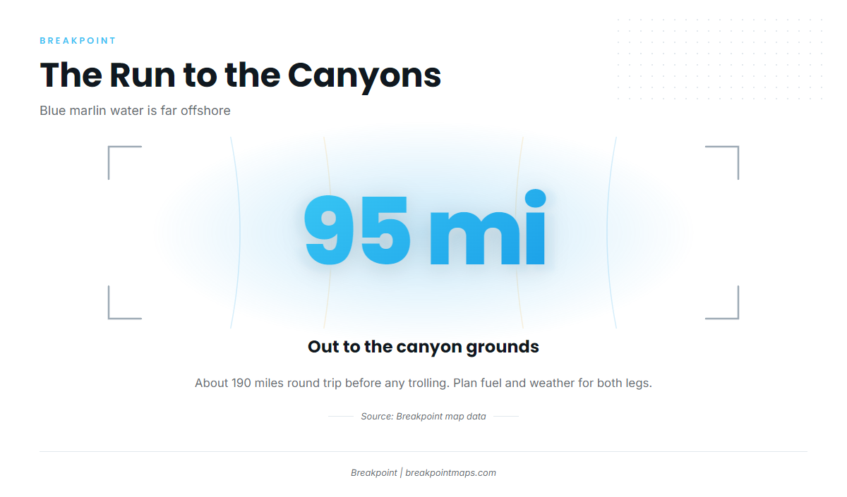
The blue marlin water from this port is far offshore. The Point Judith port page covers getting out of the harbor and reading conditions.
The canyon grounds: about 95 miles
The canyon grounds lie about 95 miles out, so the round trip is close to 190 miles of running before any trolling starts.
Planning around the distance
This is a full-day trip at minimum, and the planning should reflect that.
- Fuel: size it for the full round trip plus trolling time at the grounds, with reserve.
- Weather window: it has to cover the run out, the time fishing, and the run home.
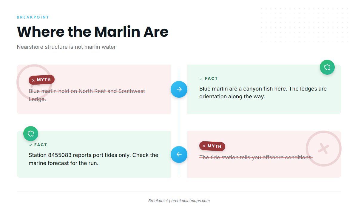
- Tides versus forecast: NOAA tide station 8455083 at Point Judith reports tides at the port. It does not report sea state 95 miles offshore.
For the canyon run, read the wind, wave height, and period in the official NWS marine forecast before you commit.
Named grounds and structure near Point Judith
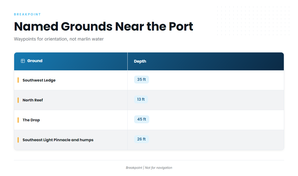
These are the named grounds and structure near the port and along the way out. Blue marlin are a canyon fish here, so use this list for orientation and waypoints rather than as marlin water.
| Name | Depth (ft) | Position |
|---|---|---|
| Southwest Ledge | 35 | |
| North Reef | 13 | |
| The Drop | 45 | |
| The Peanut | ||
| Southeast Light Pinnacle and humps | 26 | 41-07-25.8 N, 71-33-52.8 W (Pinnacle) |
| Block Island wind farm turbine bases | ||
| Coxes Ledge | ||
| The Gully |
Southwest Ledge
Southwest Ledge is listed at 35 ft and is named structure near the port.
North Reef
North Reef is listed at 13 ft. It is shallow named structure worth keeping on your plotter.
The Drop
The Drop is listed at 45 ft.
The Peanut
The Peanut is local structure near the port.
Southeast Light Pinnacle and humps
The Pinnacle and humps are listed at 26 ft. Plot the Pinnacle at about 41-07-25.8 N, 71-33-52.8 W.
Block Island wind farm turbine bases
The Block Island wind farm turbine bases are structure near the route out.
Coxes Ledge
Coxes Ledge is a named ground on the way offshore.
The Gully
The Gully is a named ground near the port.
Chart layers are not for navigation. Use official charts for that.
How blue marlin are fished from this port
The billfish guides carry the wider trolling picture, including spreads and lures, which this page does not cover.
Offshore trolling
Boats from Point Judith troll offshore for blue marlin on the canyon grounds.
Who runs for them
Blue marlin from Point Judith are targeted by crews whose boats and fuel range can handle a run of about 95 miles each way, plus trolling time. A boat has to cover that distance and still have time to fish the grounds.
FAQ about blue marlin fishing out of Point Judith
When is the blue marlin season out of Point Judith?
Summer, on the canyon grounds.
How far is the run to the blue marlin grounds?
About 95 miles to the canyon grounds offshore. Plan fuel and the weather window for both legs.
Do blue marlin hold on the nearshore ledges like North Reef or Southwest Ledge?
No. The named nearshore structure is orientation along the way, and blue marlin are a canyon fish here. North Reef is listed at 13 ft and Southwest Ledge at 35 ft, which gives you depth context for plotting.
What method do boats from Point Judith use for blue marlin?
Offshore trolling on the canyon grounds.
Where do I check the tides at Point Judith?
NOAA tide station 8455083 at Point Judith. It reports tides at the port, not offshore sea state, so check the official marine forecast for the canyon run.