When blue marlin are off Wrightsville Beach
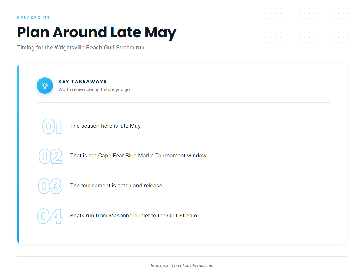
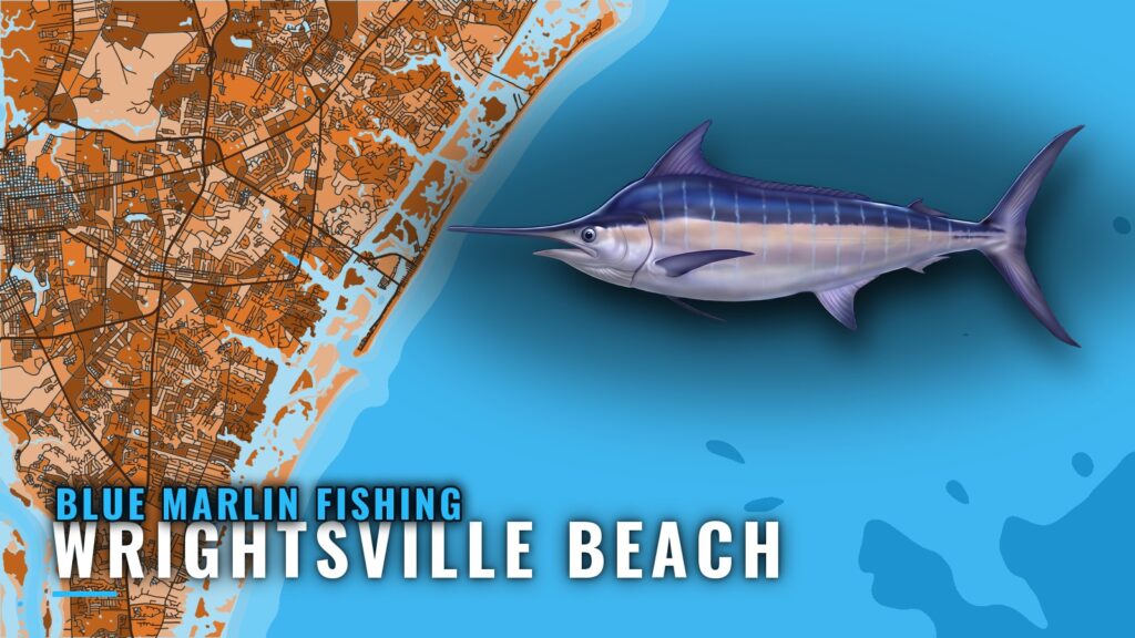
Blue marlin fishing out of Wrightsville Beach centers on late May, when boats run through Masonboro Inlet to the Gulf Stream. The local method is catch and release, and the Cape Fear Blue Marlin Tournament at Seapath anchors the window. This page is for owner-operators who run their own boat out of Wrightsville Beach. General behavior and tackle are covered in our blue marlin species guide.
Late May and the tournament window
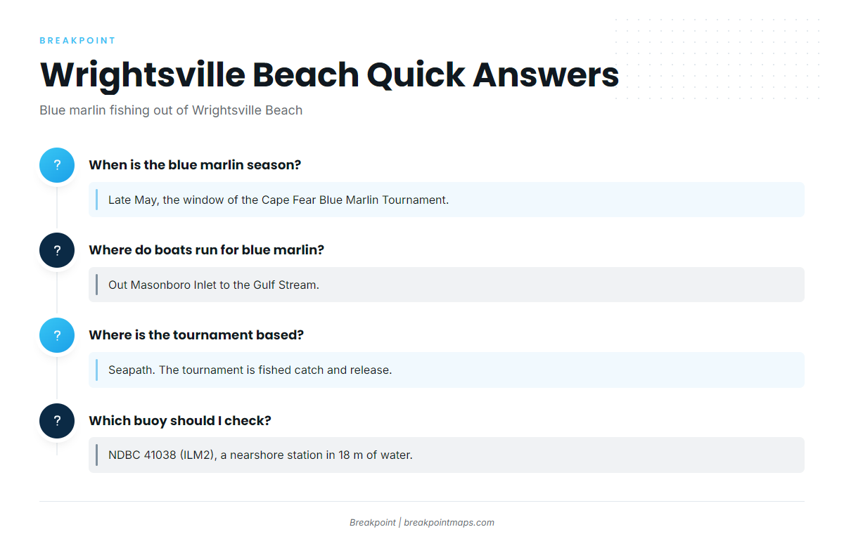
The Cape Fear Blue Marlin Tournament runs in late May and is the trip local anglers plan around. It is usually held in May, so a first Gulf Stream run for blue marlin fits the same window. Tournament details are on the official Cape Fear Blue Marlin site.
Running from Masonboro Inlet to the Gulf Stream
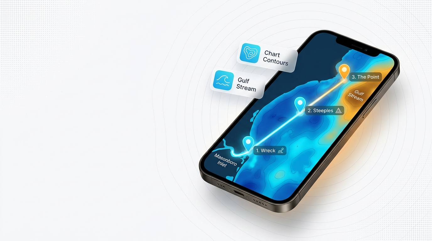
Boats leave Wrightsville Beach through Masonboro Inlet and run to the Gulf Stream. For the wider regional picture, see our Atlantic Southeast blue marlin guide (see also the Atlantic Southeast region guide).
The route has three parts you can check before leaving the dock:
- The exit: Masonboro Inlet and its north and south jetties.
- The conditions read: NDBC 41038, the nearshore buoy.
- The destination: the Gulf Stream.
Leaving past the jetties
The Masonboro Inlet north and south jetties are the first named structure on the way out. The NOAA Coast Pilot chapter for Masonboro is the authoritative reference for the inlet.
Reading buoy 41038
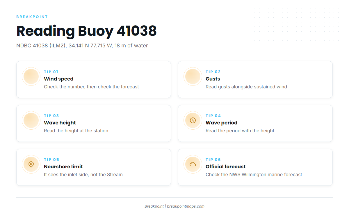
The nearest NOAA buoy is NDBC 41038, Wrightsville Beach Nearshore (ILM2), at 34.141 N 77.715 W in 18 m of water. It reports four values worth reading:
- Wind speed
- Wind gusts
- Wave height
- Wave period
Because it is a nearshore station, its readings describe the inlet side of the trip and say little about conditions on the Gulf Stream grounds. Pair the buoy numbers with the NWS Wilmington marine forecast, and check the forecast again before you commit to the run.
Named grounds and structure near the inlet
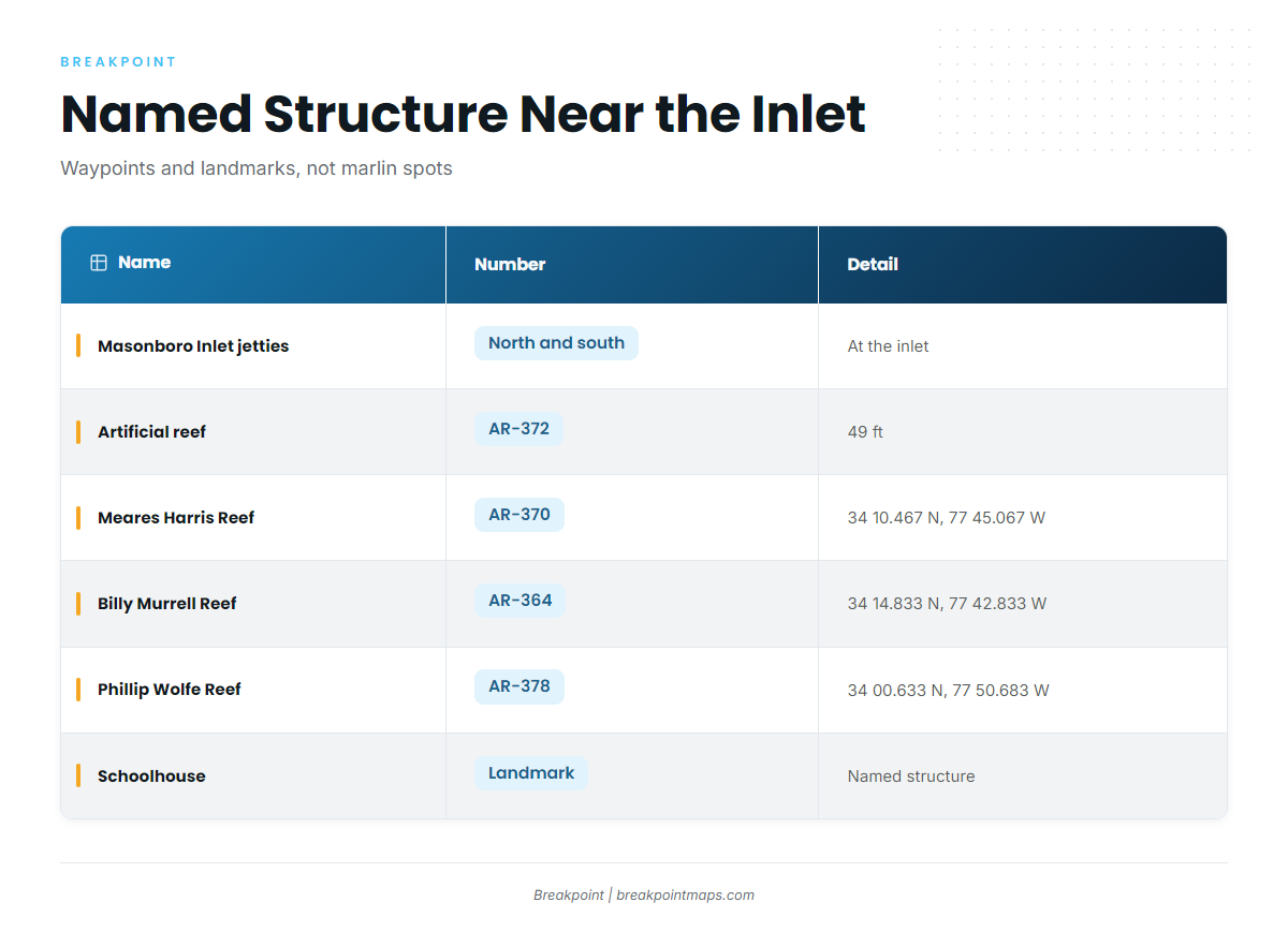
The table lists named structure and landmarks near the port, with their numbers from the North Carolina artificial reef guide where they have one. Treat them as waypoints on the way out rather than marlin spots.
| Name | Number | Detail |
|---|---|---|
| Masonboro Inlet north and south jetties | At Masonboro Inlet | |
| Artificial reef | AR-372 | 49 ft |
| Meares Harris Reef | AR-370 | 34 10.467 N, 77 45.067 W |
| Billy Murrell Reef | AR-364 | 34 14.833 N, 77 42.833 W |
| Phillip Wolfe Reef | AR-378 | 34 00.633 N, 77 50.683 W |
| Schoolhouse | ||
| Dredge Wreck Reef | ||
| 10-Mile Boxcars |
The reef coordinates load as waypoints on Chart Contours. Chart layers are not for navigation.
How blue marlin are fished here and who fishes them
The local method is catch and release, and the people who fish for blue marlin out of this port are mostly the teams of the Cape Fear Blue Marlin Tournament.
Catch and release
Catch and release is the method used in the tournament. For handling and method detail, see our billfish guides.
The Cape Fear Blue Marlin Tournament at Seapath
The Cape Fear Blue Marlin Tournament is the blue marlin event out of Wrightsville Beach. It is based at Seapath, usually held in May, and fished catch and release.
FAQ: blue marlin out of Wrightsville Beach
When is the blue marlin season out of Wrightsville Beach?
Late May, the window of the Cape Fear Blue Marlin Tournament. That is when blue marlin fishing out of Wrightsville Beach draws the most boats.
Where do boats run for blue marlin?
Out Masonboro Inlet to the Gulf Stream.
What blue marlin tournament is held here?
The Cape Fear Blue Marlin Tournament. It is fished catch and release and is usually held in May.
Where is the tournament based?
Seapath.
Which buoy should I check before running out?
NDBC 41038 (ILM2), at 34.141 N 77.715 W in 18 m of water. It is a nearshore station, so it reads the inlet side of the trip rather than the Gulf Stream. Check it alongside the official NWS marine forecast.
Are the AR reefs marlin spots?
No. AR-370, AR-364, AR-378, AR-372, Schoolhouse, Dredge Wreck Reef and 10-Mile Boxcars are named structure and landmarks near the port.