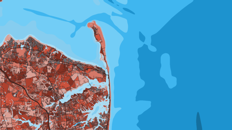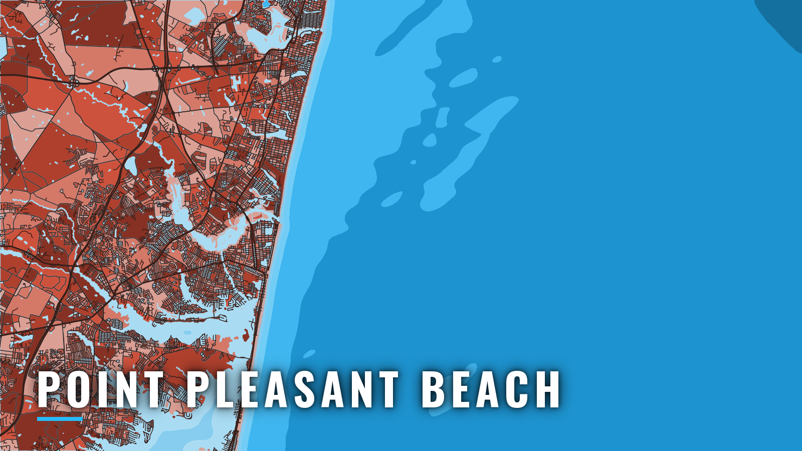

About Point Pleasant Beach
Point Pleasant Beach, New Jersey, sits on the south side of Manasquan Inlet, with Manasquan opposite and Brielle up the Manasquan River. The inlet is the northern end of the New Jersey Intracoastal Waterway. Artificial reefs lie within a few miles of the jetties, and the water runs out to the canyons. The port fishes year-round: tautog anchor winter, striped bass bracket spring and autumn, and tuna, sharks, false albacore and bonito fill the warm months. The season follows the wider Northeast pattern.
Access and navigation
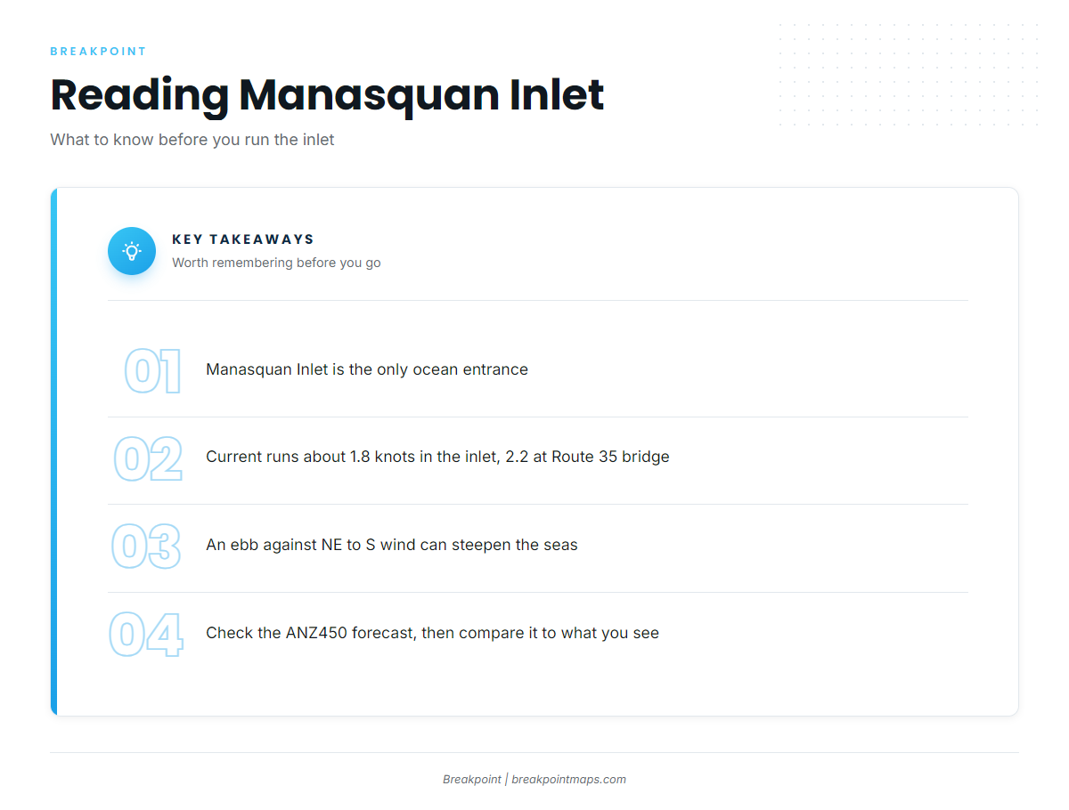
Manasquan Inlet is the only ocean entrance, and seas can build there in strong northeast to south winds, especially on an ebb. Launch and tie-up options:
- Point Pleasant Canal Fishing Access Site – NJDEP site with a concrete ramp, trailer parking and a launch dock on the canal.
- Manasquan River Club – ramp on the Manasquan River.
- Strictly Marine – ramp, Manasquan River side.
- Lightning Jack’s Marina – marina ramp.
- Point Pleasant Municipal Ramp – foot of Bay Avenue, Barnegat Bay side.
Marinas fill in season and on weekends, so radio or phone ahead.
Current in the inlet runs about 1.8 knots, and about 2.2 knots at the Route 35 bridge, according to the NOAA Coast Pilot 3 entry. An ebb running out against wind and swell from the northeast to south tends to shorten and steepen the seas at the mouth, which is why the inlet can stand up when the open ocean looks manageable. Traffic can be heavy with commercial and pleasure boats, and loose rocks can lie along the jetties. The north jetty light sits on the outer end. The south jetty light sits near the outer end and has a sound signal.
The Point Pleasant Canal is the inside route from the Manasquan River to Barnegat Bay. It is a 1.9-mile bulkheaded cut, and it works better as an option than as an easy way out. Tides there are strongly wind-driven and run about 3 hours offset from the Manasquan station, so a tide table gives you a starting point only. Barnegat Bay leads south toward Barnegat Inlet.
On arrival, look at the water at the jetties and read the NWS ANZ450 marine forecast. Compare the forecast wind, wave height and period with what you see. NDBC 44091, the Barnegat waverider, reports wave height and period. If the inlet looks bigger than you want, switch approaches.
Fishing conditions
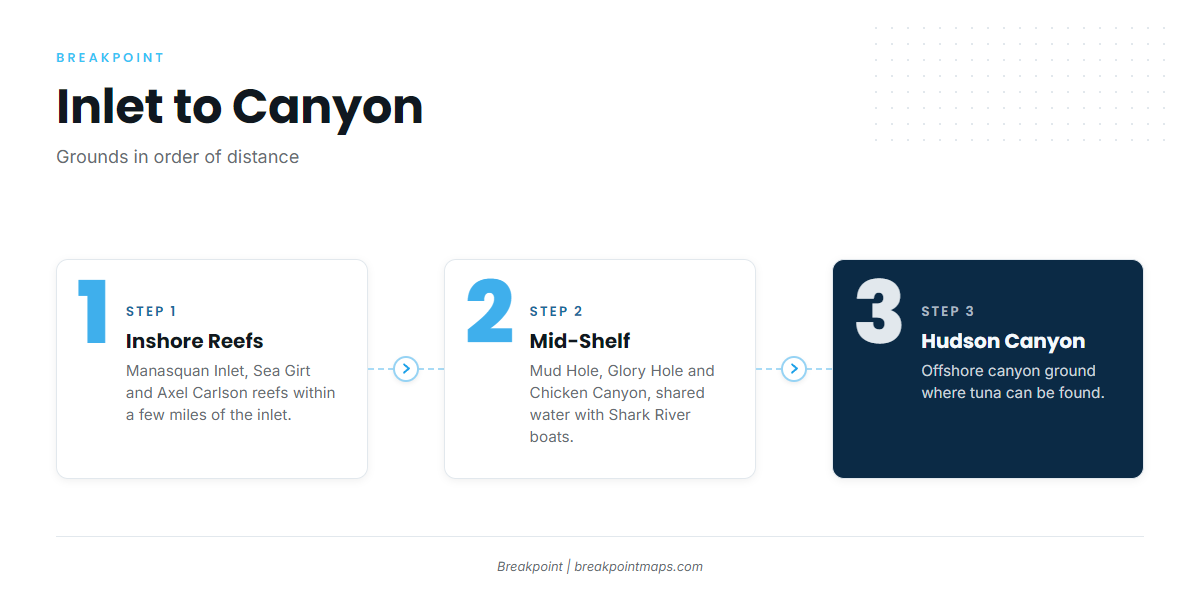
The inshore reefs lie within a few miles of the inlet, the Mud Hole is mid-shelf, and Hudson Canyon is the deep-water ground.
- Manasquan Inlet Reef: reef, 1.7 nautical miles from the entrance, in 70 ft.
- Sea Girt Reef: reef.
- Axel Carlson Reef: reef.
- Mud Hole, Glory Hole and Chicken Canyon: mid-shelf grounds, shared with boats from Shark River Inlet.
- Hudson Canyon: the canyon ground.
The temperature breaks that hold pelagic fish show on OBS SST and Chlorophyll, and Chart Contours help you read the shelf edge. Chart layers are not for navigation.
Check New Jersey’s saltwater rules on the NJ Fish & Wildlife regulations page before fishing, and register with the free NJ Saltwater Recreational Registry.
Winter
Tautog on the reefs and structure tend to be the main option. Winter days hinge on weather windows, so check the forecast and the wind before you commit.
Spring
Tautog, ling, cod and winter flounder fish early. Striped bass move through, with fluke and bluefish arriving behind them.
Summer
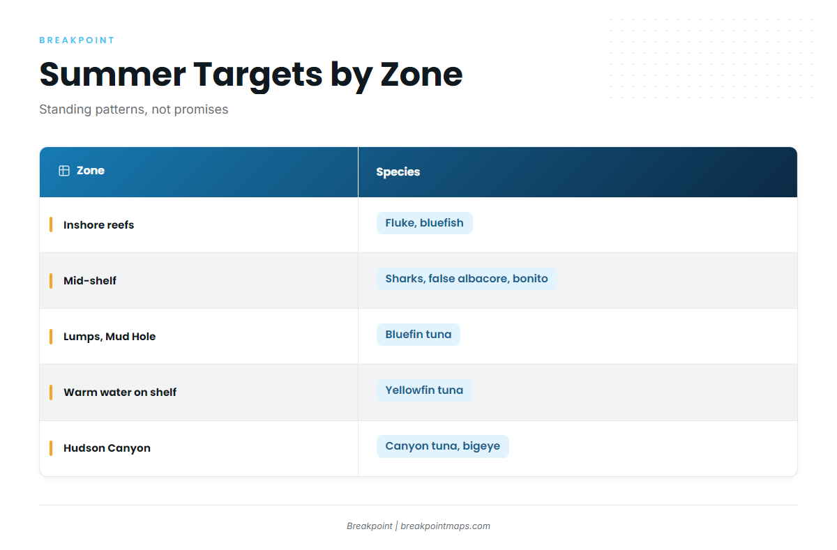
Fluke and bluefish work the inshore reefs. Sharks, false albacore, bonito and Spanish mackerel can work the mid-shelf. Bluefin tuna can be found around the lumps and the Mud Hole. Yellowfin tuna tend to follow warm water onto the shelf. Hudson Canyon can hold canyon tuna, including bigeye.
Autumn
Striped bass and bluefish run the beach and the inlet. False albacore, bonito and Spanish mackerel are around early, and tautog return to structure. Offshore, late-season bluefin can show, yellowfin that hold into early autumn can linger, and canyon bigeye can turn up along the edge.