
About Murrells Inlet
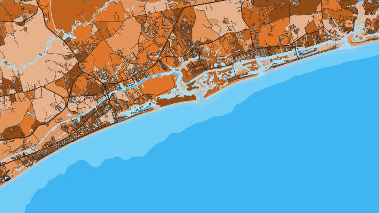
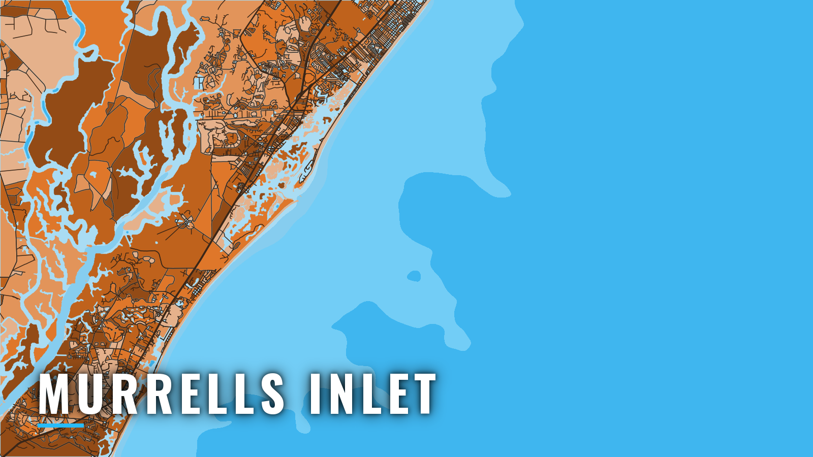
Murrells Inlet is a jettied inlet on the southern Grand Strand, 20 miles north-northeast of Georgetown Light, opening to the Main Creek and Oaks Creek marsh. The marinas and public ramps sit on Main Creek, and boats run from there to the nearshore reefs and out to the Gulf Stream.
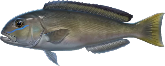
Fishing runs year-round, with offshore pelagic action concentrated in summer. Anglers target king mackerel, mahi and billfish, including sailfish, along with cobia, wahoo, tuna, sheepshead and bottom fish. Check the South Carolina regulations page before fishing. SCDNR sets the state rules, and NOAA Fisheries sets the federal snapper-grouper rules.
Access and navigation
Two public landings and two fuel marinas serve the inlet:
- Murrells Inlet Boat Landing – SCDNR public landing on Main Creek.
- Garden City Boat Ramp – Horry County landing.
- Marlin Quay Marina – fuel and ship’s store.
- Crazy Sister Marina – fuel and dockage.
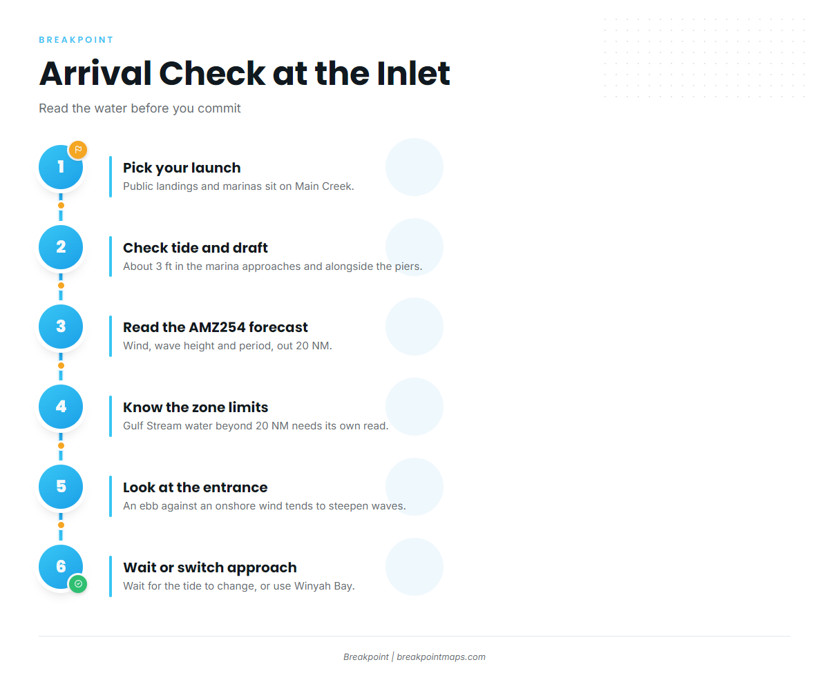
Jetties protect the entrance, with lights on the outer jetty ends and a lighted buoy offshore. Lights and daybeacons mark the dredged entrance channel and the Main Creek channel up to the turning basin, about 2.9 miles inside. Where the channel turns sharply north into Main Creek, tide rips run strong at full ebb or flood. The NOAA Coast Pilot 4 chapter covers the approach in detail.
An ebb running against an onshore wind or swell tends to shorten and steepen the waves at the mouth, so the entrance can stand up even when the open water outside looks manageable. Timing the run for slack water or a favorable tide may help.
An unmarked shoal to 6 ft is reported just southwest of the entrance channel. Approaches and pier-side depths at the Main Creek marinas run about 3 ft, so tide stage matters for draft.
From November through April, vessels 65 ft or longer are limited to 10 knots in a 20 nm Seasonal Management Area for right whales.
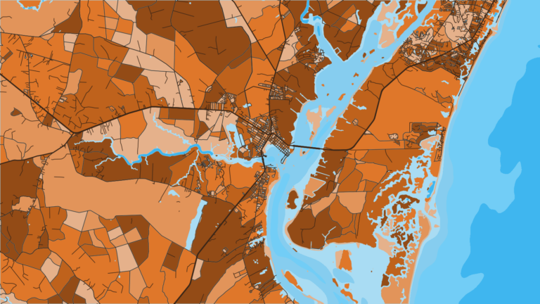
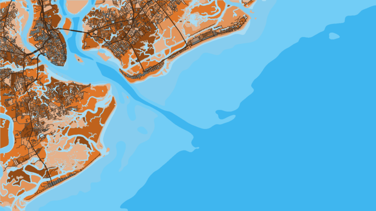
If the entrance looks like more than you want, the Winyah Bay approach to the south-southwest is one alternative, and Little River Inlet to the northeast is the other.
Read the NWS forecast for AMZ254, the Little River Inlet to Murrells Inlet zone out 20 NM, for wind, wave height and period. The zone stops at 20 NM, so Gulf Stream water beyond it needs its own read. Then look at the entrance yourself on arrival, and if it looks bigger than you want, wait for the tide to change or switch approaches.
Fishing conditions
The named grounds are Paradise Reef, Ten Mile Reef, Eleven Mile Reef and the Murrells Inlet jetties, with Gulf Stream water farther out. Water temperature moves fish along this coast, and the Atlantic Southeast fishing guide covers that pattern across the region. In the Breakpoint app, OBS SST, Chlorophyll and Chart Contours help locate temperature edges and structure before the run. The chart layers are not for navigation.
Winter
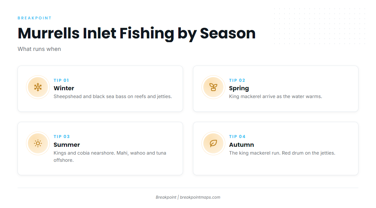
Sheepshead work the nearshore reefs and the jetties, with bottom fish such as black sea bass on the reefs alongside them. The Coast Pilot reports waves of 8 ft or more 20 to 30 percent of the time from December through February on this coast. Snapper-grouper rules change by season or quota, so check SCDNR and NOAA Fisheries before fishing.
Spring
King mackerel arrive as the water warms, and flounder fish well inshore. Timing tracks water temperature, so the dates shift from year to year.
Summer
Kings and cobia run nearshore. Mahi in the Atlantic Southeast, along with wahoo and tuna, run in bluewater, and billfish off the Southeast show up in the same water. Longer Gulf Stream runs tend to line up with steadier weather windows in summer. AMZ254 does not cover the Stream.
Autumn
The king mackerel run is the main event, and King mackerel in the Southeast gets its own breakdown. Bull red drum, black drum and spotted seatrout work the jetties.